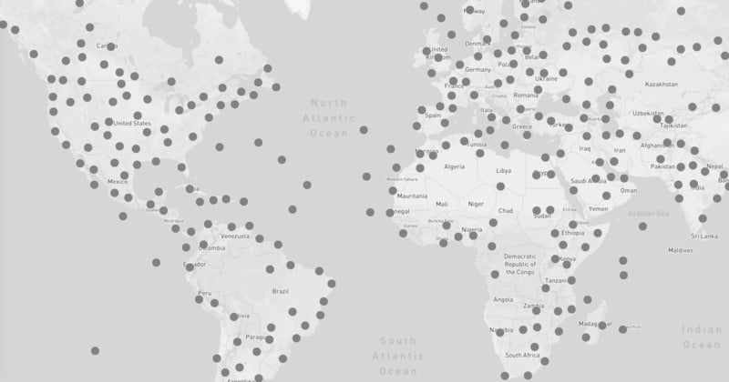
 A quick peek at the EXIF data of most photos you find online these days will reveal not only what (mostly) smartphone they were taken with, it will also reveal the exact GPS coordinates where that photo was taken. That’s how one researcher built the “Accidental Geography” map. Created as a side project by computational […]
Share this Article
Recommended