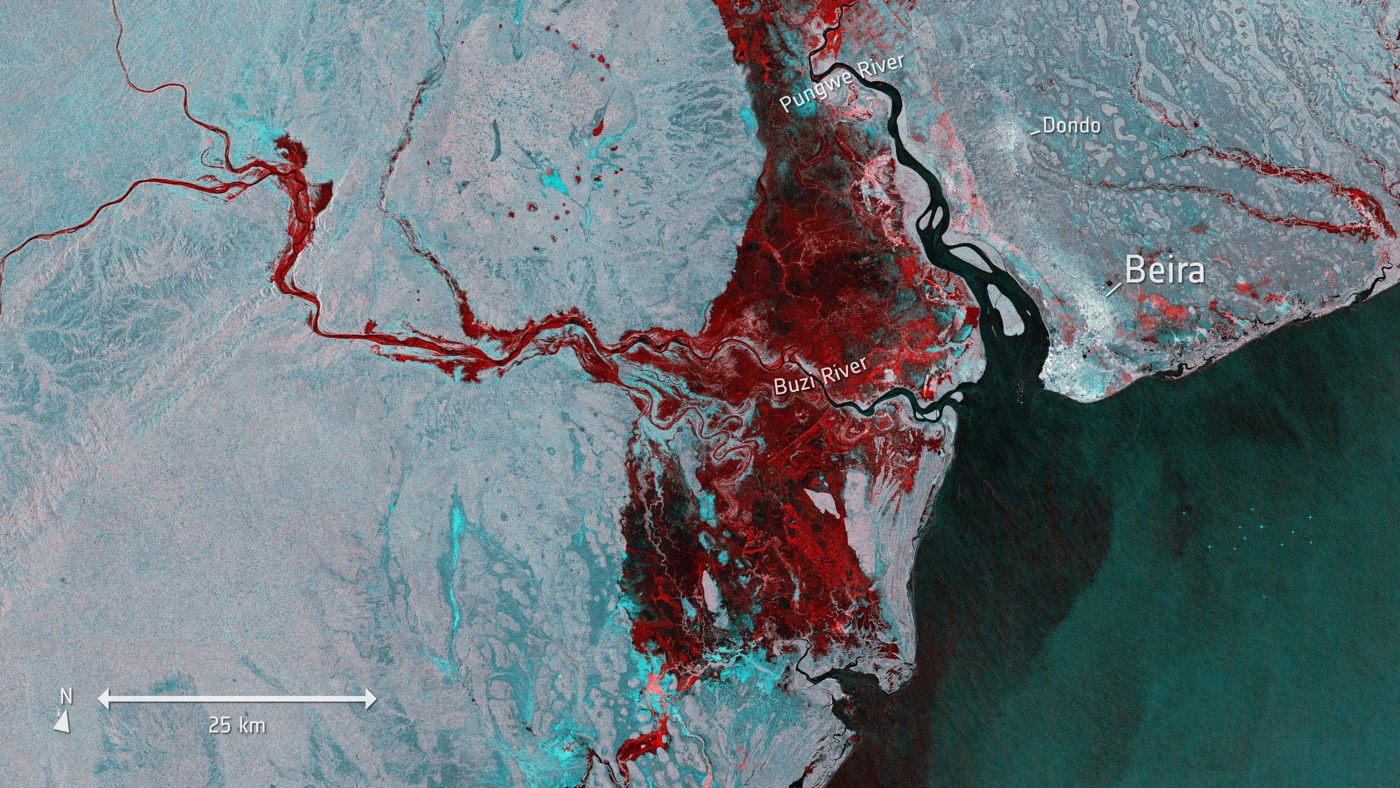
 A new mathematical application provides a more complete picture of our changing world by drawing on data from several kinds of sensors.
Integrating diverse satellite images sharpens our picture of activity on Earth (op-ed)
SPACE.com - 23 Mar 2021 17:00
A new mathematical application provides a more complete picture of our changing world by drawing on data from several kinds of sensors.
Share this Article
Recommended