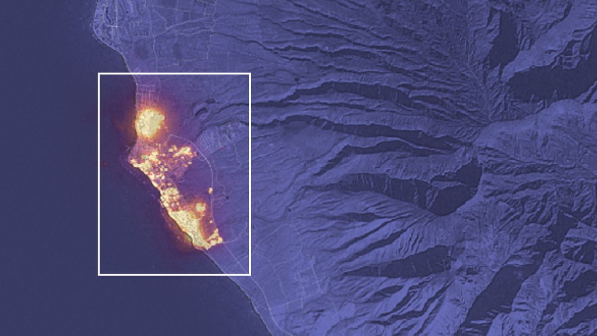
 The Landsat 8 satellite captured the deadly flames that burned through the town of Lahaina in Hawaii and killed at least 99 people.
Maui satellite photo shows full scale of deadliest US fire in more than a century
SPACE.com - 17 Aug 2023 22:30
The Landsat 8 satellite captured the deadly flames that burned through the town of Lahaina in Hawaii and killed at least 99 people.
Share this Article
Recommended