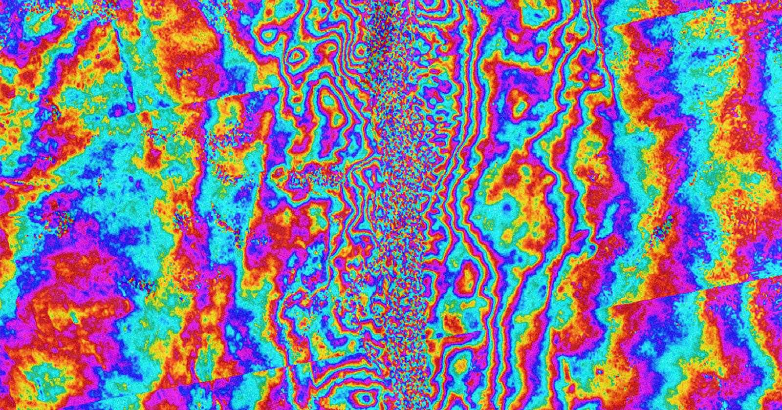
 One month ago, a powerful and deadly magnitude 7.7 earthquake hit central Myanmar, devastating the southeast Asian country and killing at least 5,400 people. Scientists are investigating the geological impacts of the tragedy using satellites, discovering that the earthquake transformed the Earth itself in Myanmar.
Satellite Photos Show How Deadly Myanmar Earthquake Transformed the Earth's Surface
PetaPixel - 28 Apr 2025 19:06
One month ago, a powerful and deadly magnitude 7.7 earthquake hit central Myanmar, devastating the southeast Asian country and killing at least 5,400 people. Scientists are investigating the geological impacts of the tragedy using satellites, discovering that the earthquake transformed the Earth itself in Myanmar.
Share this Article
Recommended