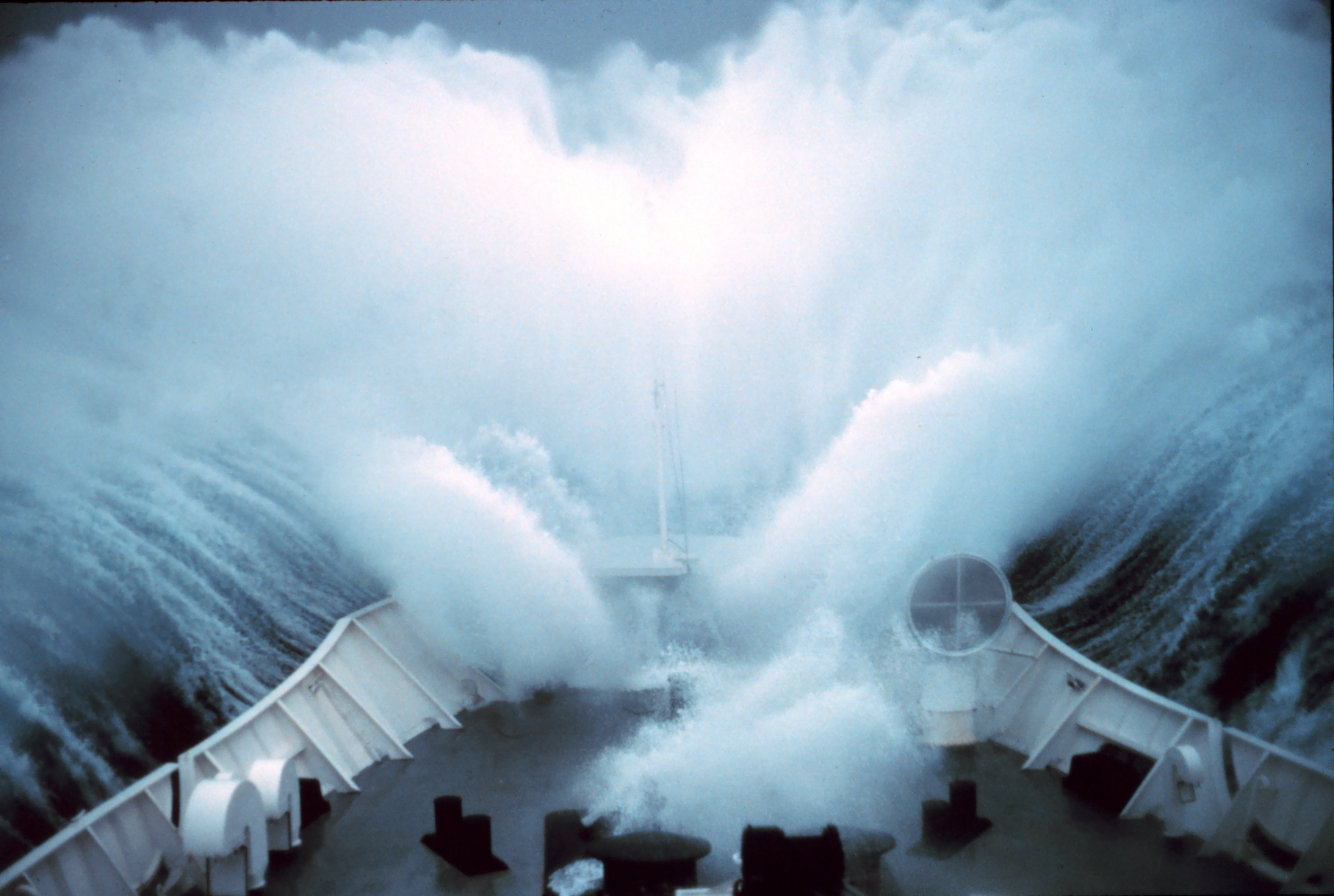
 Sea surface height data from the Sentinel-6B satellite, led by NASA and ESA, will help with the development of marine weather forecasts, alerting ships to possible dangers. Because most global trade travels by ship, accurate, timely ocean forecasts are essential. These forecasts provide crucial information about storms, high winds, and rough water, and they depend []
New U.S.-European Sea Level Satellite Will Help Safeguard Ships at Sea
NASA Breaking news - 11 Sep 2025 17:41
Sea surface height data from the Sentinel-6B satellite, led by NASA and ESA, will help with the development of marine weather forecasts, alerting ships to possible dangers. Because most global trade travels by ship, accurate, timely ocean forecasts are essential. These forecasts provide crucial information about storms, high winds, and rough water, and they depend []
Share this Article
Recommended