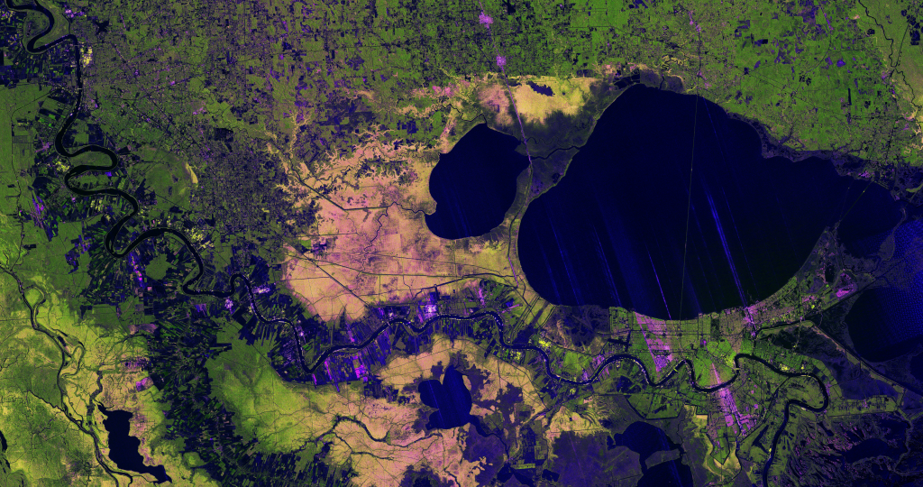
 Anew image from the NISAR mission showsoff the satellites abilityto revealdetails ofEarths surfaces.The science team also released new sample data. A U.S.-Indian Earth satellites ability to see through clouds,revealing insights and characteristics of our planets surface,is on display in a colorful,newly released image showing the Mississippi River Delta regioninsoutheastern Louisiana. Created with data collectedbytheNISAR (NASA-ISRO []
NASA-ISRORadar MissionPeers Through Clouds to See MississippiRiverDelta
NASA Breaking news - 29 Jan 2026 20:57
Anew image from the NISAR mission showsoff the satellites abilityto revealdetails ofEarths surfaces.The science team also released new sample data. A U.S.-Indian Earth satellites ability to see through clouds,revealing insights and characteristics of our planets surface,is on display in a colorful,newly released image showing the Mississippi River Delta regioninsoutheastern Louisiana. Created with data collectedbytheNISAR (NASA-ISRO []
Share this Article
Recommended